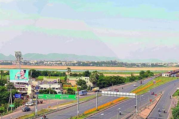
Vijayawada: The officials have started digital mapping of the 29 capital villages for internal roads and the two ring roads that would be part of the new capital city, Amaravati.
The officials of the State government have already started formation of a six-lane seed access road, the main road for the new city. In addition to this, the officials have also planned seven internal roads in the first phase, besides an inner ring road and one outer ring road that would come in the next phases. The seven internal roads are already planned and a draft is prepared by the AP Capital Region Development Authority (APCRDA). The CRDA had served notices to the owners of houses, shops, cattle sheds and others that are to be acquired for the formation of these internal roads. A whopping compensation is offered to these owners in return to their lands and talks are being held with them to surrender the identified lands.
Meanwhile, the officials have started the aerial survey and digital global positioning systems for both the internal roads and the ring roads. The work on the outer ring road has already been started at Kanchikacharla and Veerulapadu mandals of Krishna district, the other side of the Krishna river. This would provide an iconic bridge across the river, while another iconic bridge is planned between Bhavani Island and Ibrahimpatnam.
The 150 meter wide outer ring road is planned to cover 188 kilometers would be executed by the Central government. The internal ring road too is also planned with 75 meters width and 97 kilometers length that would provide better connectivity to the Vijayawada city with Amaravati. The APCRDA would execute this project directly and both the inner ring road and outer ring road are planned to be ready by the end of 2018.
The officials say that the actual work would begin for the two ring roads simultaneously with the seven internal roads and the main seed access road. The APCRDA officials are of the opinion that the roads, once completed would give a clear look to the proposed Amaravati city, as by then the master plan for the city and the government buildings would be ready.


